Tuesday May 23 Summary in Southern Nebraska
I decided to leave late (after morning laptop issues) for southern Nebraska on Tuesday. Should be said that my tornado expectations were low, but I thought there'd be decent storms. In short, I ended up being just ahead of the main convective line as it developed southward across far southern Nebraska into northern KS. There were quite a number of strong/damaging wind reports, including an 81 mph gust at the NWS Hastings office with power pole/tree damage in Hastings. I managed to stay ahead of/parallel the line as to avoid the stronger winds.
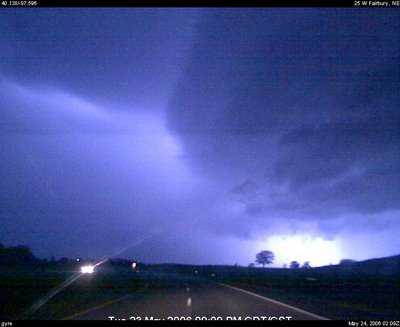
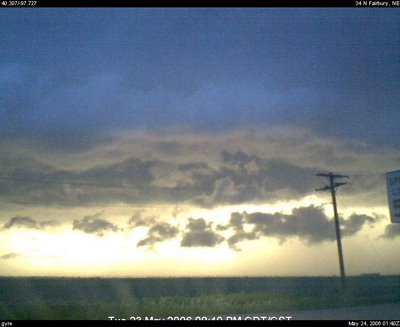
Below are a couple of webcam capture highlights -- the first is as the shelf cloud is beginning to surge just before dark (at my latitude anyways) as I sat in northwest Thayer Co. between Davenport and Carleton, NE (southeast of Hastings). There is also a java time lapse available. The second picture is a lightning illuminated shot of the arcus cloud as I'm driving south parallel to it near Hebron, NE (along the NE/KS border).

Below are a couple of webcam capture highlights -- the first is as the shelf cloud is beginning to surge just before dark (at my latitude anyways) as I sat in northwest Thayer Co. between Davenport and Carleton, NE (southeast of Hastings). There is also a java time lapse available. The second picture is a lightning illuminated shot of the arcus cloud as I'm driving south parallel to it near Hebron, NE (along the NE/KS border).


0 Comments:
Post a Comment
<< Home